Remote Sensing and GIS
Greenex Corporation
Remote Sensing and GIS
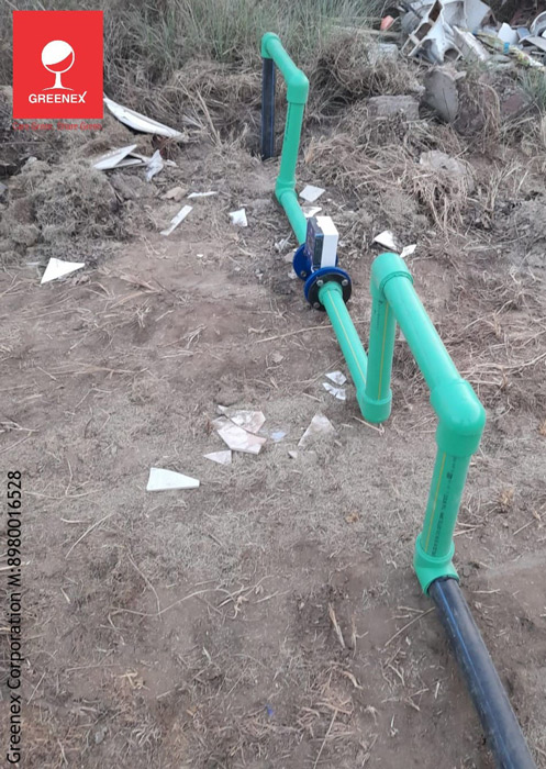
Remote Sensing & GIS technology enables precise mapping and analysis of groundwater potential, land use, and environmental conditions. By using satellite imagery and spatial data, it helps in identifying water sources, monitoring changes, and optimizing water management strategies for sustainable development.
Accurate Groundwater & Land Mapping
Data-Driven Decision Making
Large-Scale Monitoring